
The World - Reference Maps & Forms, Grades 3-6
Carson-dellosa
$19.99 + $9.99 shipping · or same-day in San Antonio
Checking available quantity…
Sold by Tools 4 Teaching · Evansville — delivered by Jockey courier Arrives Thu, Nov 5 – Thu, Nov 12
$19.99 shelf price + estimated tax + the shipping or courier fee for the choice you make, shown in full before you pay.
Shop multiple stores. Pay one delivery fee.
- Item
- Deliver to
- Delivery
- Total
Review your total before paying securely.
The world is constantly changing, making many older maps obsolete. Make sure your students are up-to-date with The World: Reference Maps & Forms from Evan-Moor. This is an excellent social studies teacher resource for grades three through six that includes an array of political, physical and thematic maps. Students will learn about the region, key places and location information on all seven continents in amazing detail. Through 92 maps, students will explore the globe in different ways. The World also includes evaluation forms, a crossword puzzle, word search and answer key along with reproducible student pages and more. Read less << The World—Reference Maps & Forms contains 92 maps, evaluation forms, a crossword puzzle, a word search, and an answer key. The first section, The World, includes: an introduction of general facts about the world a list of 192 countries in the world a reference political map of the continents a blank world map Robinson and Mercator projection maps globes, showing hemispheres, parallels, and meridians maps of oceans, rivers, mountain ranges, and deserts The second section, The Continents, includes: North America: an introduction, listing the countries, area, population, elevations, and fun facts about the continent reference political and physical maps of North America, Canada, the United States, and Mexico blank outline maps of North America, Canada, the United States, and Mexico—shape, political, and physical study maps of each region of the United States and Mexico and the provinces and territories of Canada a reference map of six regions of the United States study maps of Central America, the Greater Antilles, and a reference map of the Lesser Antilles South America an introduction, listing the area, elevations, and fun facts about the continent a reference political map and physical map of South America and Northern South America blank outline maps of the continent–shape, political, and physical Africa, Europe, Asia, and Australia a
Availability verified during our latest store check. If the item isn't on the shelf when we get there, the order is cancelled and you are refunded in full.
More from Carson Dellosa

The Writing Process Bulletin Board Set Grade 3-8
Carson-dellosa Sold by Carson-dellosa · San Antonio — delivered by Jockey courier today by 8 PM $14.99 + $9.99 delivery
TOGETHER WE ARE A MASTERPIECE BULLETIN BOARD
Carson Dellosa Sold by Carson Dellosa · San Antonio — delivered by Jockey courier today by 8 PM $11.99 + $9.99 delivery
Top Student - Grade 1
Carson-dellosa Sold by Carson-dellosa · San Antonio — delivered by Jockey courier today by 8 PM $15.99 + $9.99 deliveryTop Student - Grade 2
Carson-dellosa Sold by Carson-dellosa · San Antonio — delivered by Jockey courier today by 8 PM $15.99 + $9.99 deliveryTop Student - Grade 3
Carson-dellosa Sold by Carson-dellosa · San Antonio — delivered by Jockey courier today by 8 PM $15.99 + $9.99 deliveryTop Student - Grade K
Carson-dellosa Sold by Carson-dellosa · San Antonio — delivered by Jockey courier today by 8 PM $15.99 + $9.99 delivery
Top Student - Grade PreK
Carson-dellosa Sold by Carson-dellosa · San Antonio — delivered by Jockey courier today by 8 PM $15.99 + $9.99 delivery
Traditional Manuscript Alphabet with Photographs Bulletin Board Set Grade PK-2
Carson-dellosa Sold by Carson-dellosa · San Antonio — delivered by Jockey courier today by 8 PM $14.99 + $9.99 deliveryMore in Books

The World Belonged to Us
Penguin Random House Sold by Penguin Random House · San Antonio — delivered by Jockey courier today by 8 PM $18.99 + $9.99 delivery
The World is Awaiting You by Marianne Richmond
Anne Mcgilvary-midwest Sold by Anne Mcgilvary-midwest · San Antonio — delivered by Jockey courier today by 8 PM $18.99 + $9.99 delivery
THE WORLD IS WONDERLAND COLLECTION
Macmillan Publishers Sold by Macmillan Publishers · San Antonio — delivered by Jockey courier today by 8 PM $15.99 + $9.99 delivery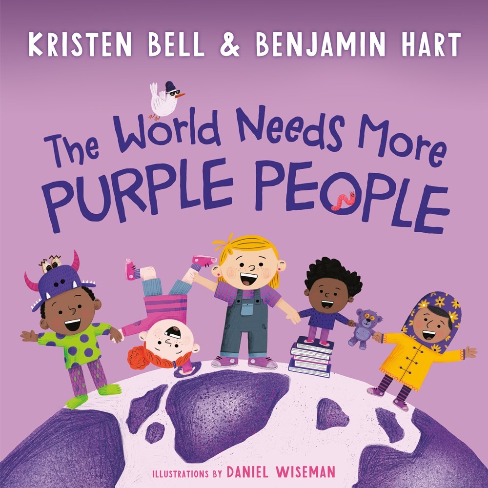
THE WORLD NEEDS MORE PURPLE PEOPLE
Random House Sold by Random House · San Antonio — delivered by Jockey courier today by 8 PM $17.99 + $9.99 delivery
The World Needs the Wonder You See
Joanna Gaines; Julianna Swaney Sold by Joanna Gaines; Julianna Swaney · San Antonio — delivered by Jockey courier today by 8 PM $13.99 + $9.99 delivery
The World of Calico Critters Official Guide
Ingram Sold by Ingram · San Antonio — delivered by Jockey courier today by 8 PM $19.99 + $9.99 delivery
The World of Dinosaurs
Simon & Schuster Sold by Simon & Schuster · San Antonio — delivered by Jockey courier today by 8 PM $14.95 + $9.99 delivery